
Drone services for critical assets, job sites and property.
Four ways we turn aerial data into answers — from a single inspection to recurring site-progress flights across a multi-year build. FAA Part 107 certified. Fully insured. Houston-based.
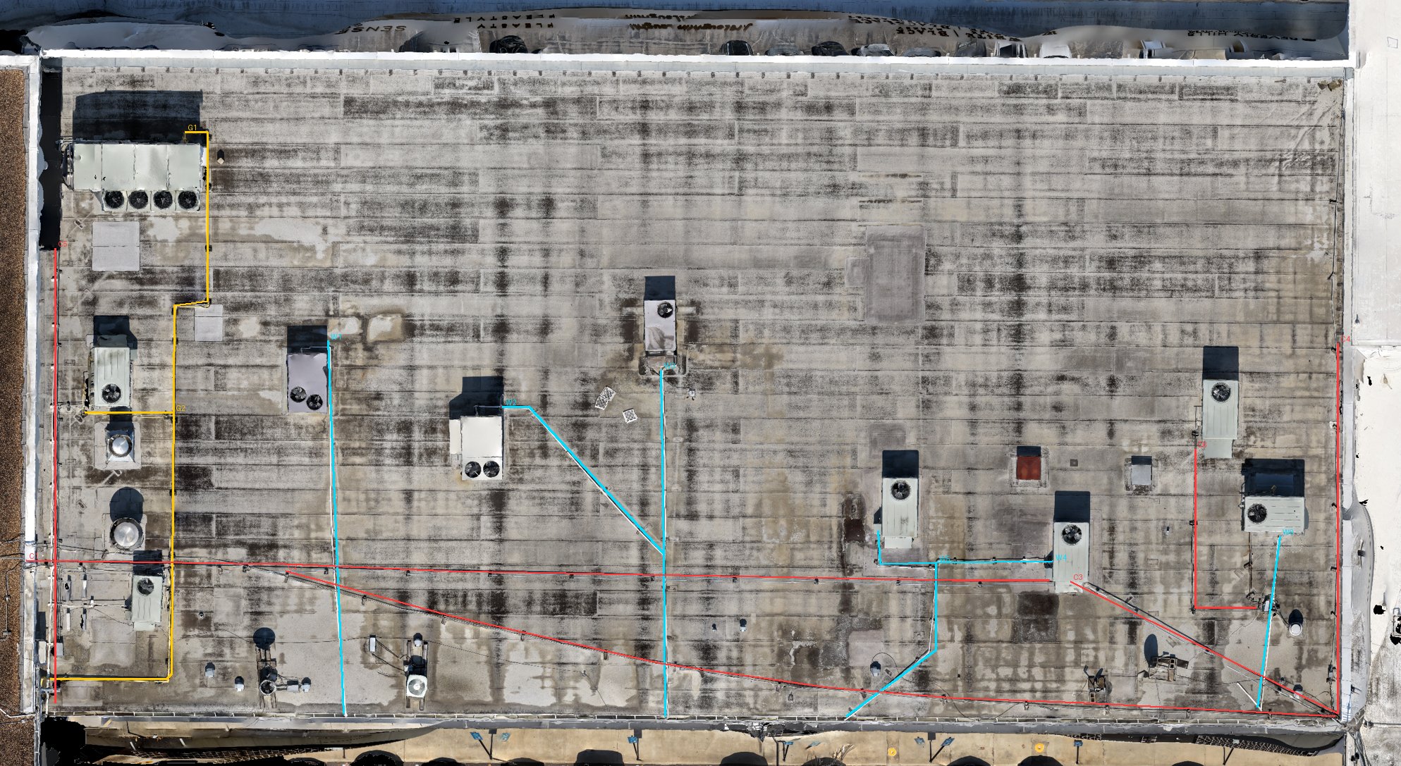
See every defect — without the ladder.
Drones reach roofs, structures and elevated assets in minutes, with no scaffolding, lifts or crews at risk. Every finding is captured in high-resolution imagery, mapped to the asset and ranked by severity.
- Close-up imagery of damage, wear, leaks and failure points
- Findings pinned to a map and ranked by severity
- Roof dimensions and measurements pulled from the 3D model
- Insurer- and owner-ready documentation
Deliverables
- Annotated PDF inspection report
- High-res image library
- Damage & dimension measurements
- 3D model of the asset
Ideal for
- Roofs & commercial buildings
- Towers, tanks & structures
- Insurance & roofing claims
- Property condition assessments

An unbiased view of your entire job site.
Recurring flights create a dated, shareable record of what's actually built, with 4K photo and video of every visit. Owners, lenders and general contractors can verify progress without a site visit.
- Repeatable flight paths for true apples-to-apples comparisons
- Percent-complete reporting by site phase
- Documentation for pay applications, draws and disputes
- Stockpile and earthwork volume measurement
- 4K aerial stills and edited video of every milestone, pre-construction to as-built
- Fast delivery, typically 24–48 hours
Deliverables
- Dated orthomosaic maps
- DSM elevation comparisons
- Progress report (PDF)
- 4K photo & video library
- TDB 360 SiteView° tour (optional)
Ideal for
- General contractors
- Developers & owners
- Lenders & investors
- Site & civil teams
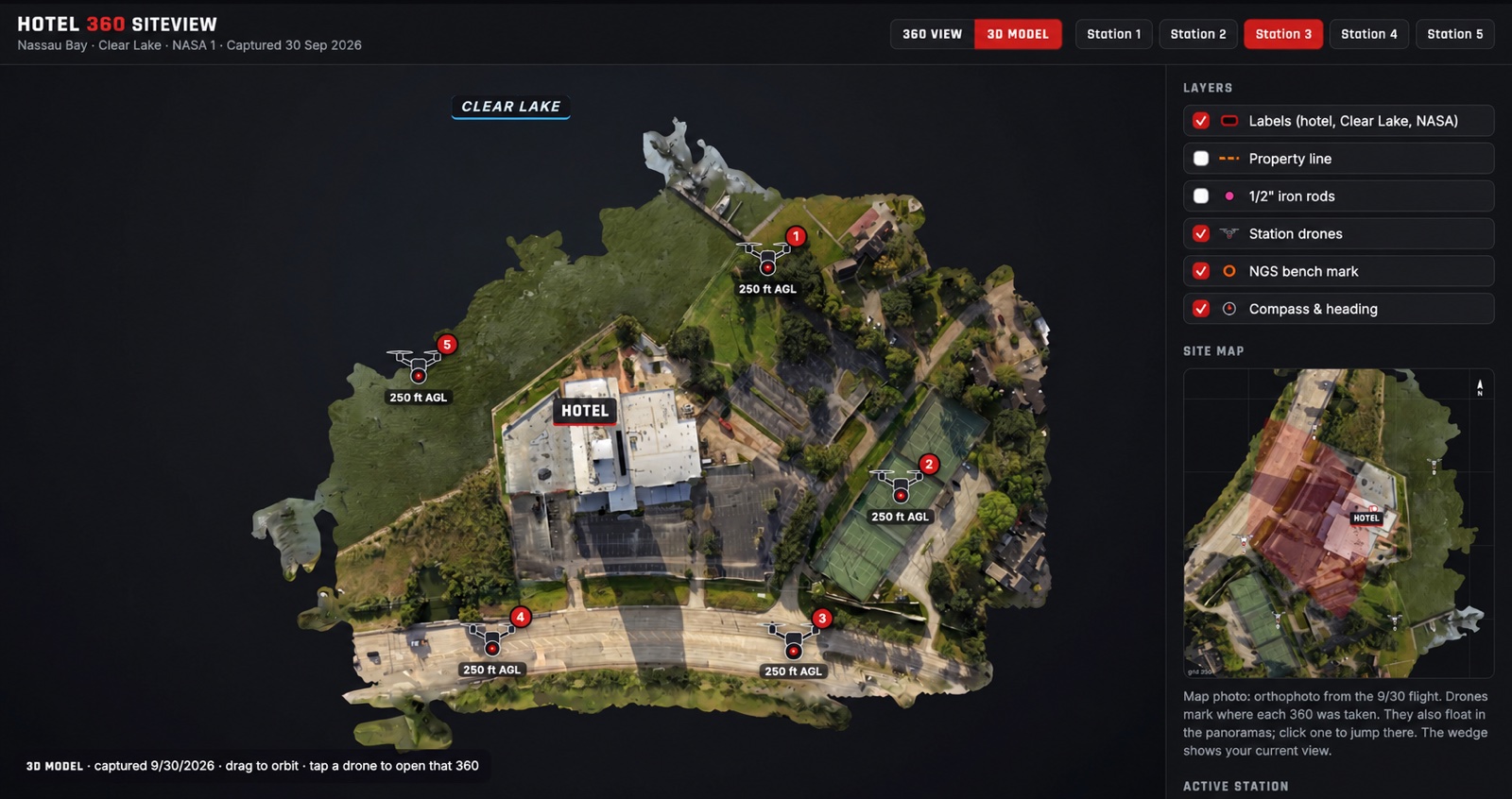
Your whole property, explorable from above.
Interactive aerial 360° tours with drone viewpoints, labels on the ground and site-plan overlays. Built for construction sites, and just as useful for golf courses, resorts, hotels, venues and campuses. It works in any browser with no app.
- Aerial 360° viewpoints you jump between with a tap
- Holes, buildings, entrances, pools and amenities labeled where they sit
- Site plans overlaid to scale on the real ground
- Add dated flights to build a visual progress record
Deliverables
- Interactive 360° tour
- Labels & site-plan overlays
- Embed code or share link
- Dated before & after views
Ideal for
- Construction & development
- Golf courses & country clubs
- Resorts, hotels & venues
- Campuses & large properties
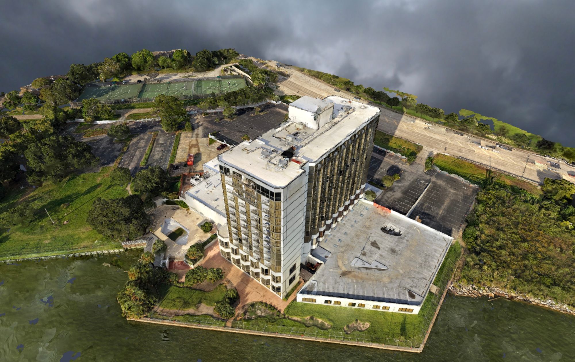
Your site as a digital twin.
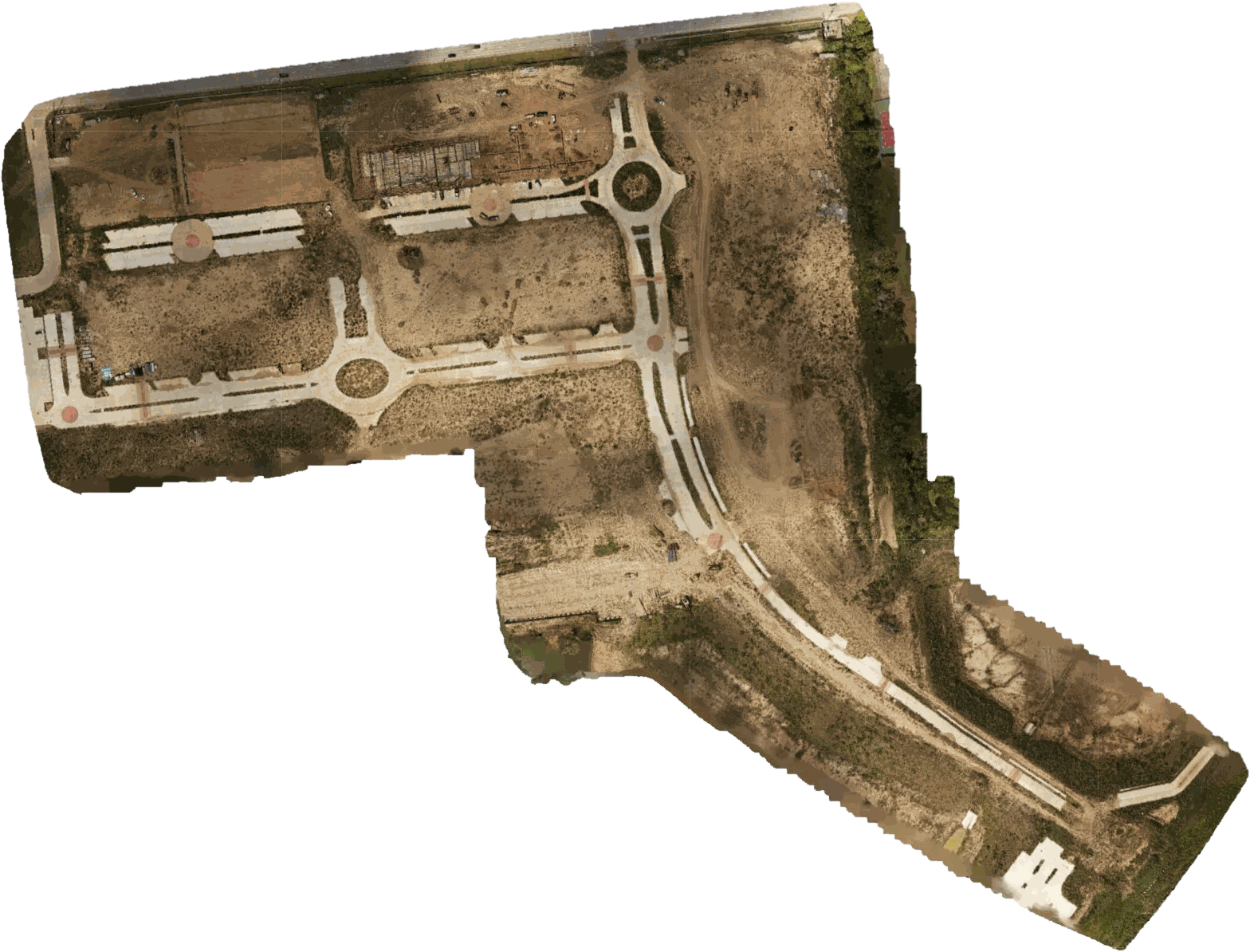
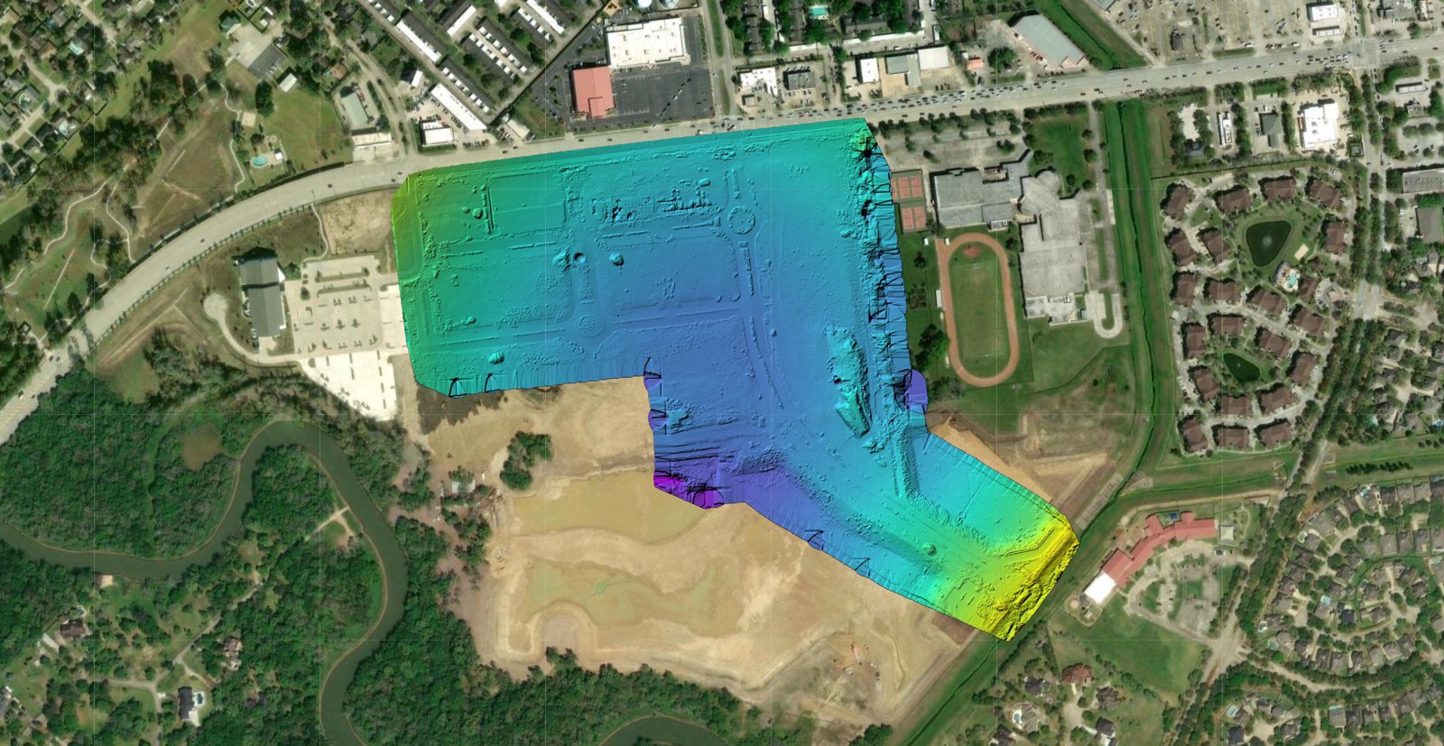
Thousands of drone images are stitched into survey-style maps and photorealistic 3D models you can measure, rotate and share from any browser — no special software required.
- 2D orthomosaics: measure distances and areas on a true-scale map
- DSM elevation maps for grading, drainage and volume work
- Interactive 3D photogrammetry models of buildings and sites
- Repeat captures to compare model versions over time
Deliverables
- 2D orthomosaic map
- DSM elevation model
- 3D mesh / interactive model
- Volume & measurement reports
Ideal for
- Site & civil planning
- Roof & building measurement
- Earthwork & stockpiles
- Digital twin / as-built records
From takeoff to decision-ready in four steps.
Data Collection
Planned, repeatable missions with survey-grade GPS and 4K sensors.
Processing & Analysis
Photogrammetry builds maps and models; we review every finding.
Reporting & Insights
Clear PDF reports, annotated imagery and shareable links.
Ongoing Monitoring
Repeat flights build a time-lapse history so changes surface early.
Match the service to the question.
| Service | Answers the question | Typical cadence | Key deliverable |
|---|---|---|---|
| Critical Asset Inspection | What's damaged or failing — and how badly? | One-time or annual | Annotated inspection report |
| Site Progress & Documentation | What's built vs. planned, and what does it look like today? | Weekly · bi-weekly · monthly | Dated maps, progress report, 4K photo & video |
| TDB 360 SiteView | Where is everything, and what can visitors explore? | One-time or recurring | Interactive aerial 360° tour |
| 2D & 3D Models | What are the exact dimensions, grades and volumes? | One-time or recurring | Orthomosaic, DSM, 3D model |
More ways we help.

AI Business Solutions
AI visual previews that help customers say yes, plus automation for repetitive work.
Explore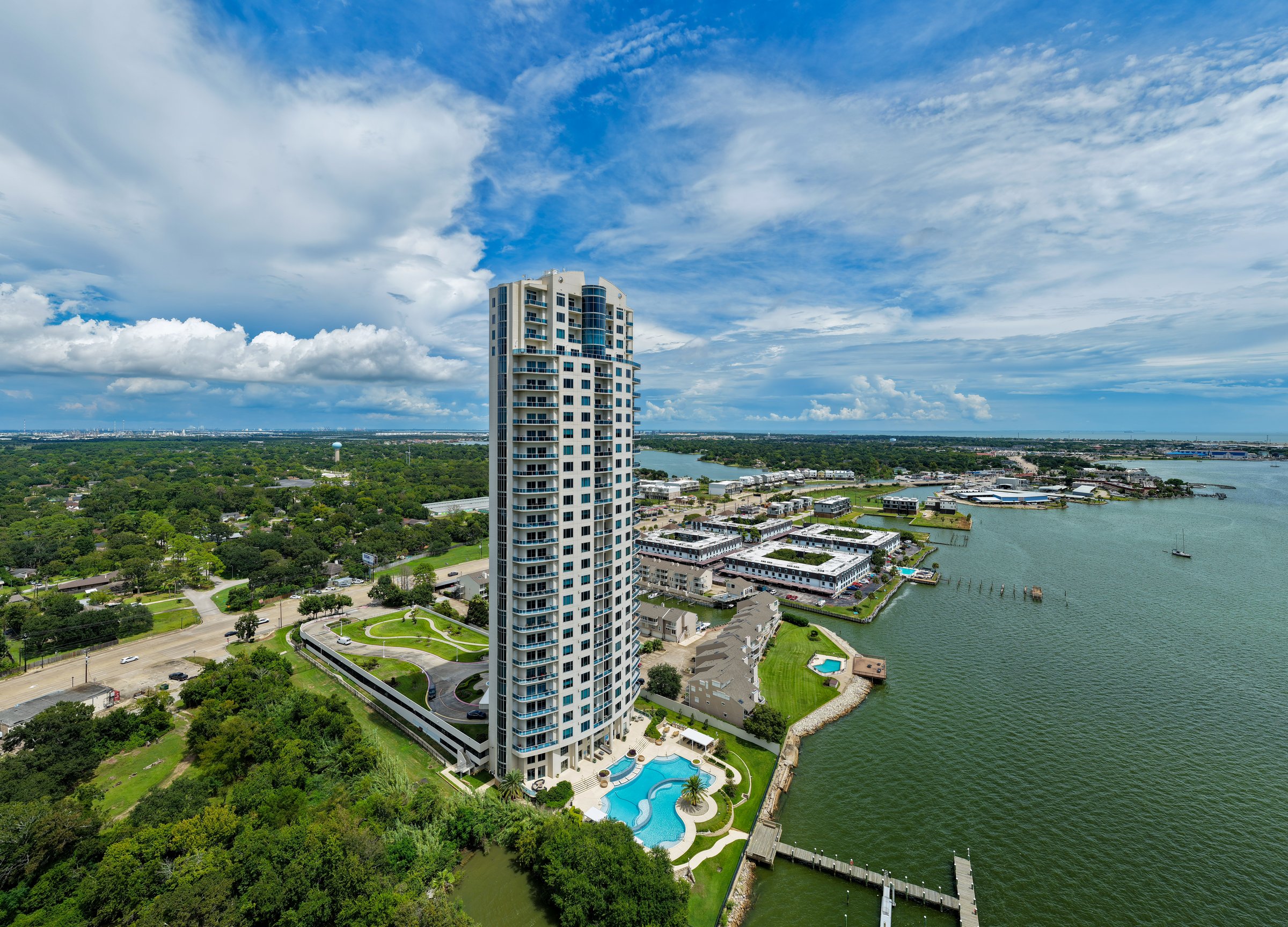
Real Estate Photography
Listing-ready aerial photos and video — pay at closing.
Explore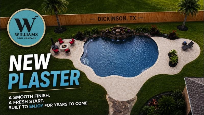
Aerial Marketing Videos
Cinematic aerial and ground video for brands and events.
Explore
Web & Graphic Design
Websites and creative for local and home-service businesses.
ExploreTell us about your project.
We'll send back a flight plan and quote — fast.
4310 Saffron Ln · Friendswood, TX · Serving Greater Houston & Texas