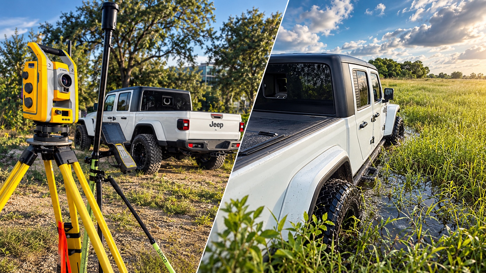

TDB Solutions is built on 10+ years of hands-on surveying experience across civil, pipeline, right-of-way (ROW), boundary, and energy infrastructure projects. That means years in the field on real job sites, delivering data that engineers, landowners, and project teams rely on to make real decisions.
That background shapes everything we do. We understand what accurate data means, why it matters, and what happens downstream when it's wrong — because we've been the crew on the ground responsible for getting it right.
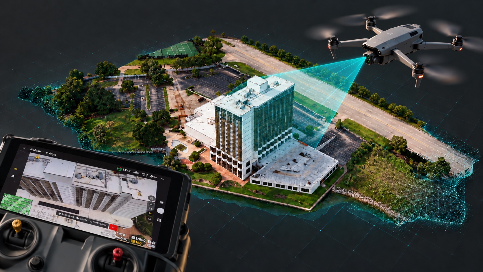
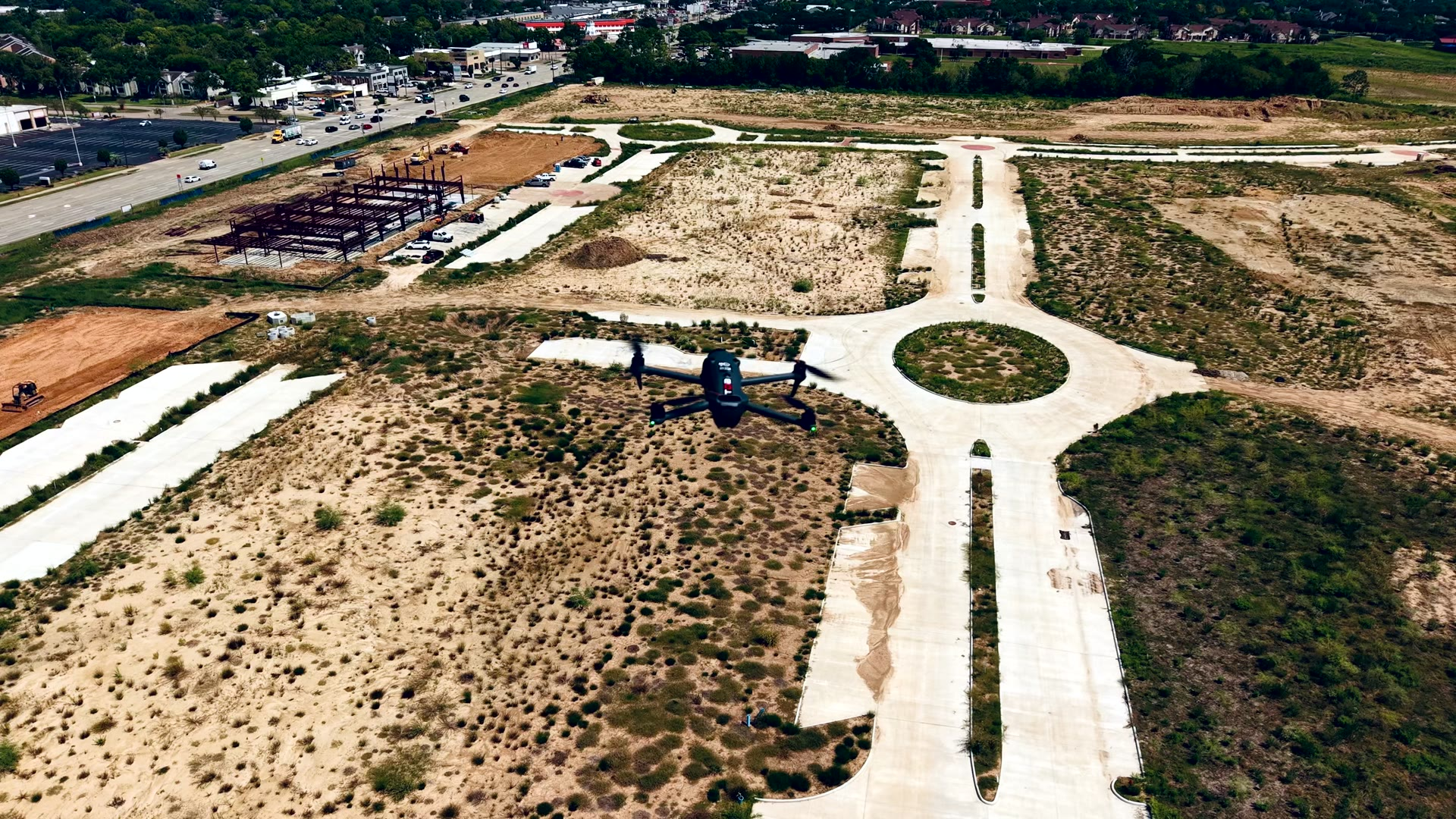
Drones let us take that same field discipline into the air. We capture more ground, faster and safer, and turn it into inspection findings, progress documentation, aerial imagery, and maps and 3D models your team can actually use. We didn't build a drone company to fly drones — we built it to deliver survey-minded data from above.
When a project calls for tighter accuracy, we bring RTK-capable mapping to the job. Our DJI Matrice 4 Enterprise pairs with an Emlid Reach RS3 GNSS base station to geotag every image with centimeter-level positioning — giving you maps and models that line up with real-world coordinates, with less reliance on ground control points and faster turnaround from flight to deliverable.