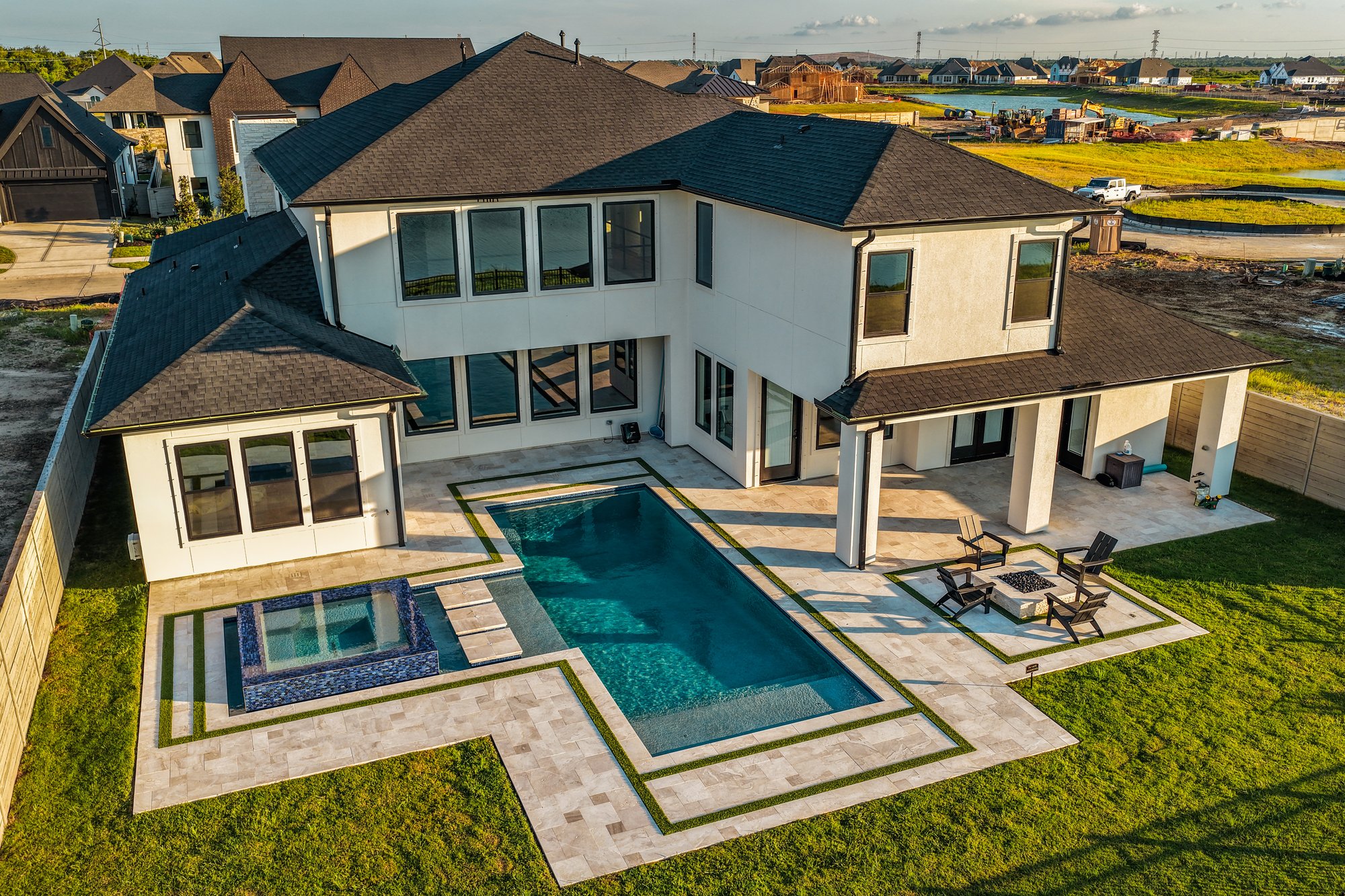
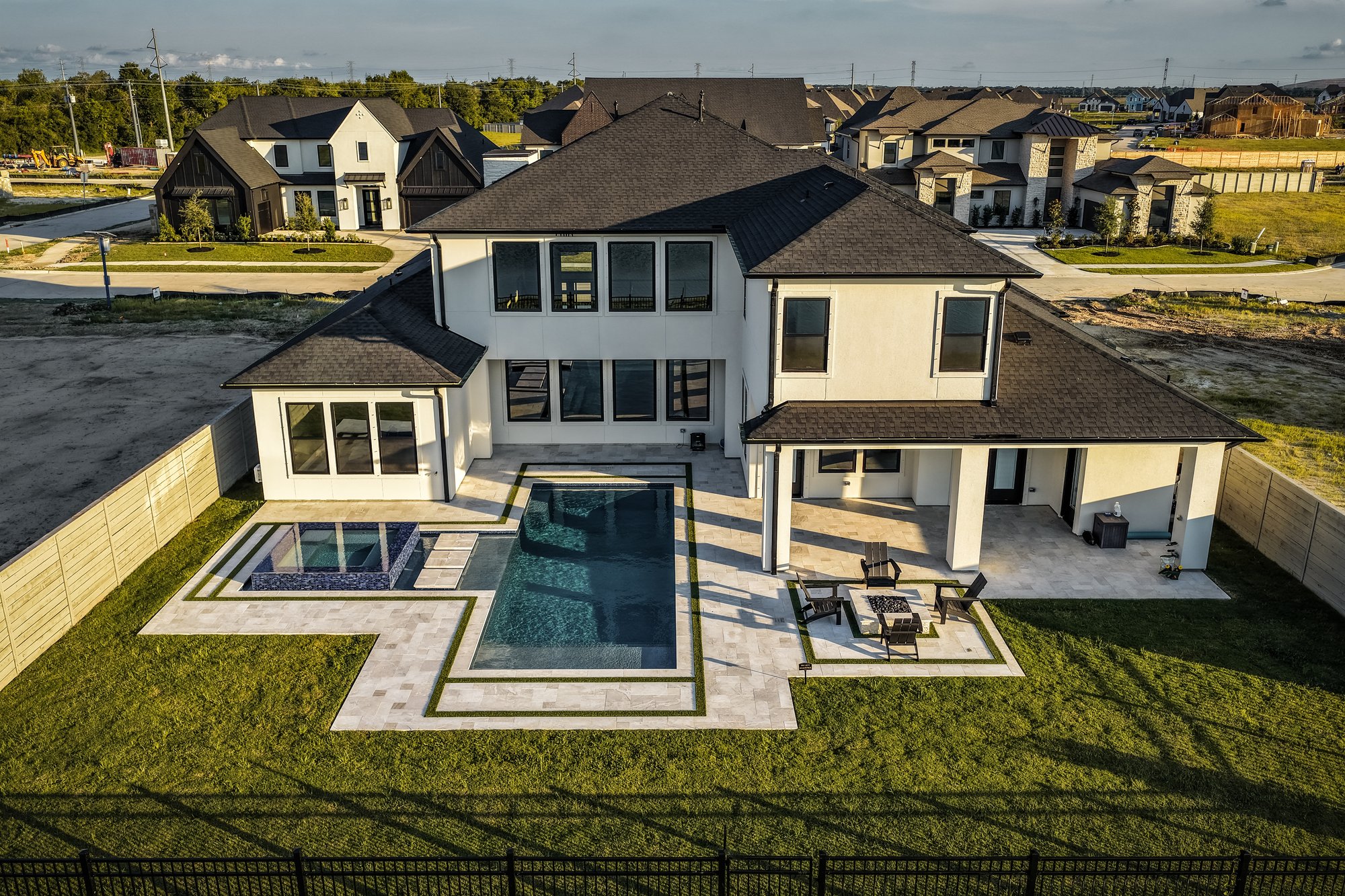
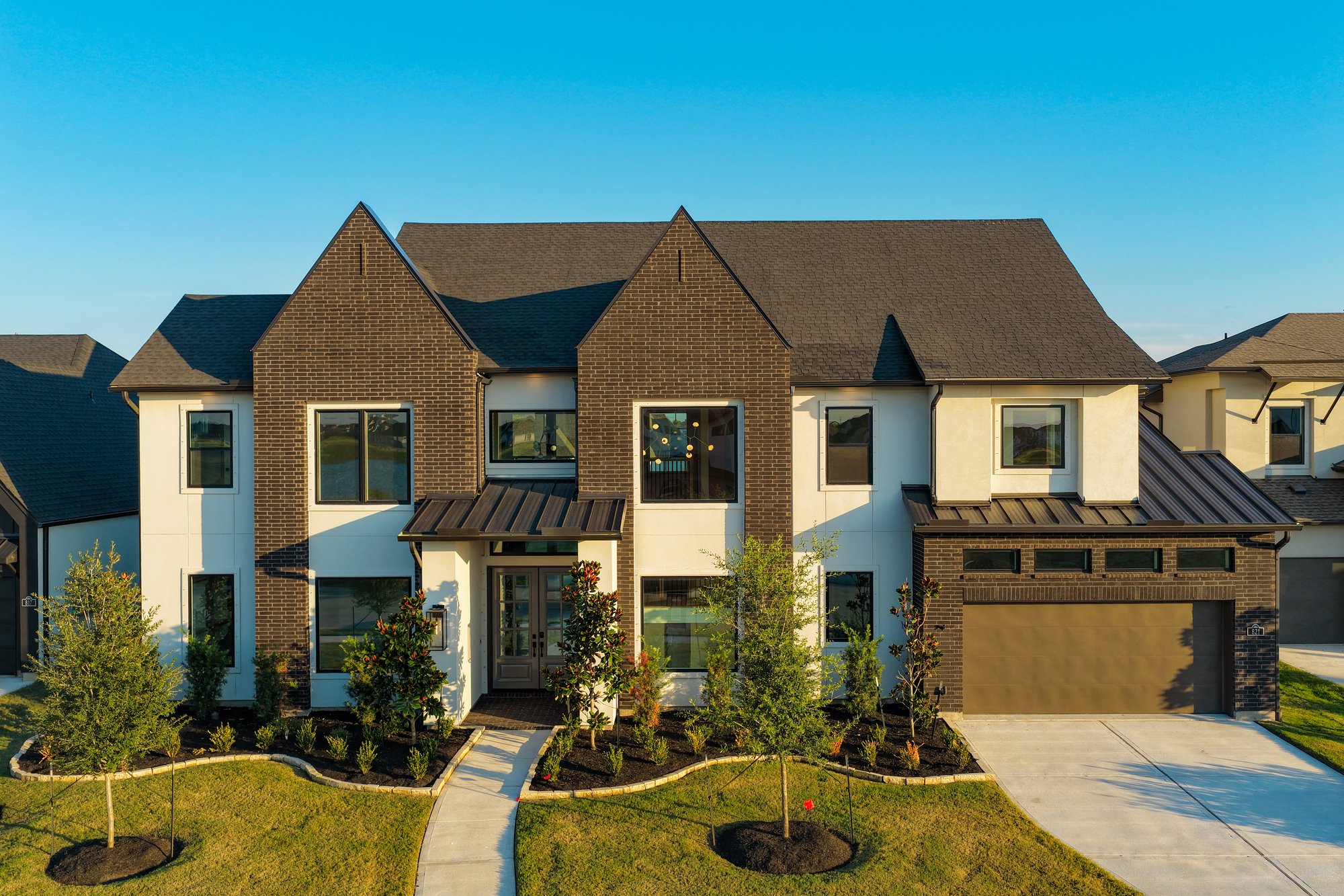
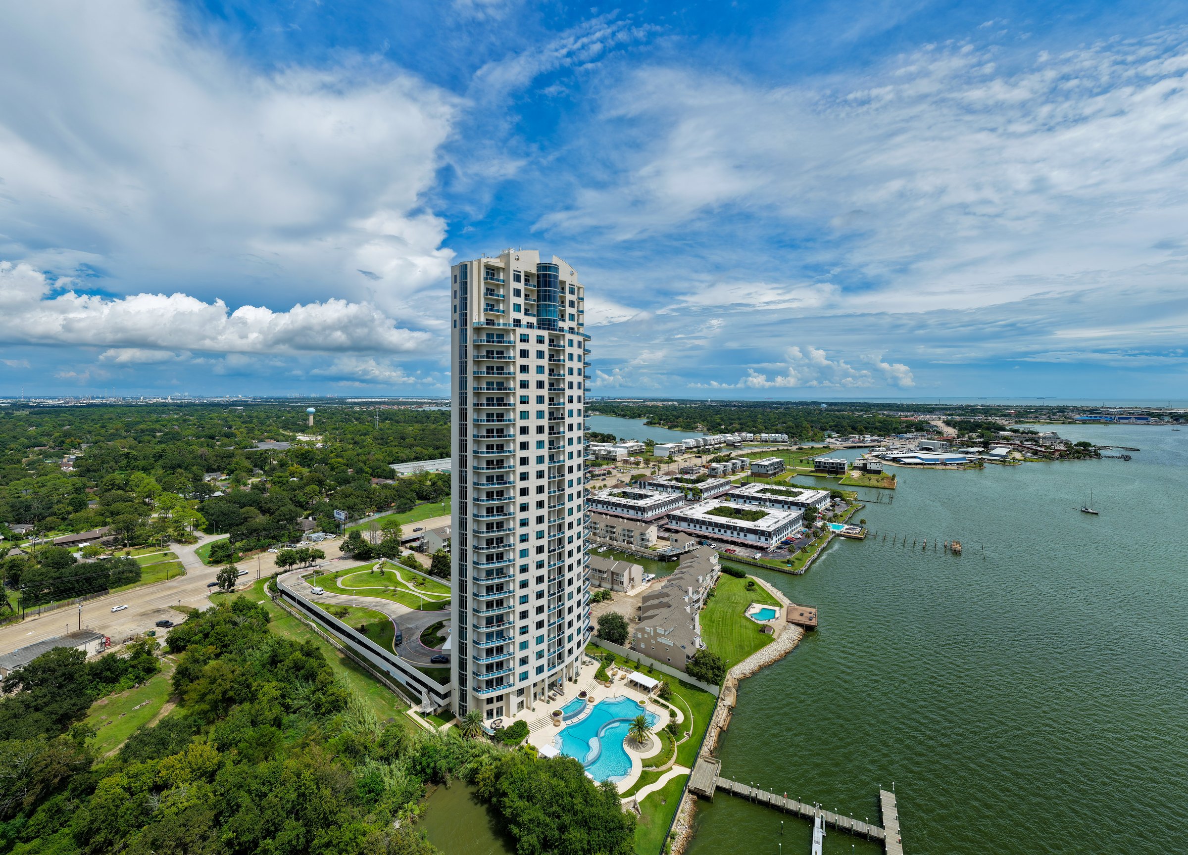
A look at what we've captured — aerial footage, inspections, mapping, real estate, and more from across the Houston area.



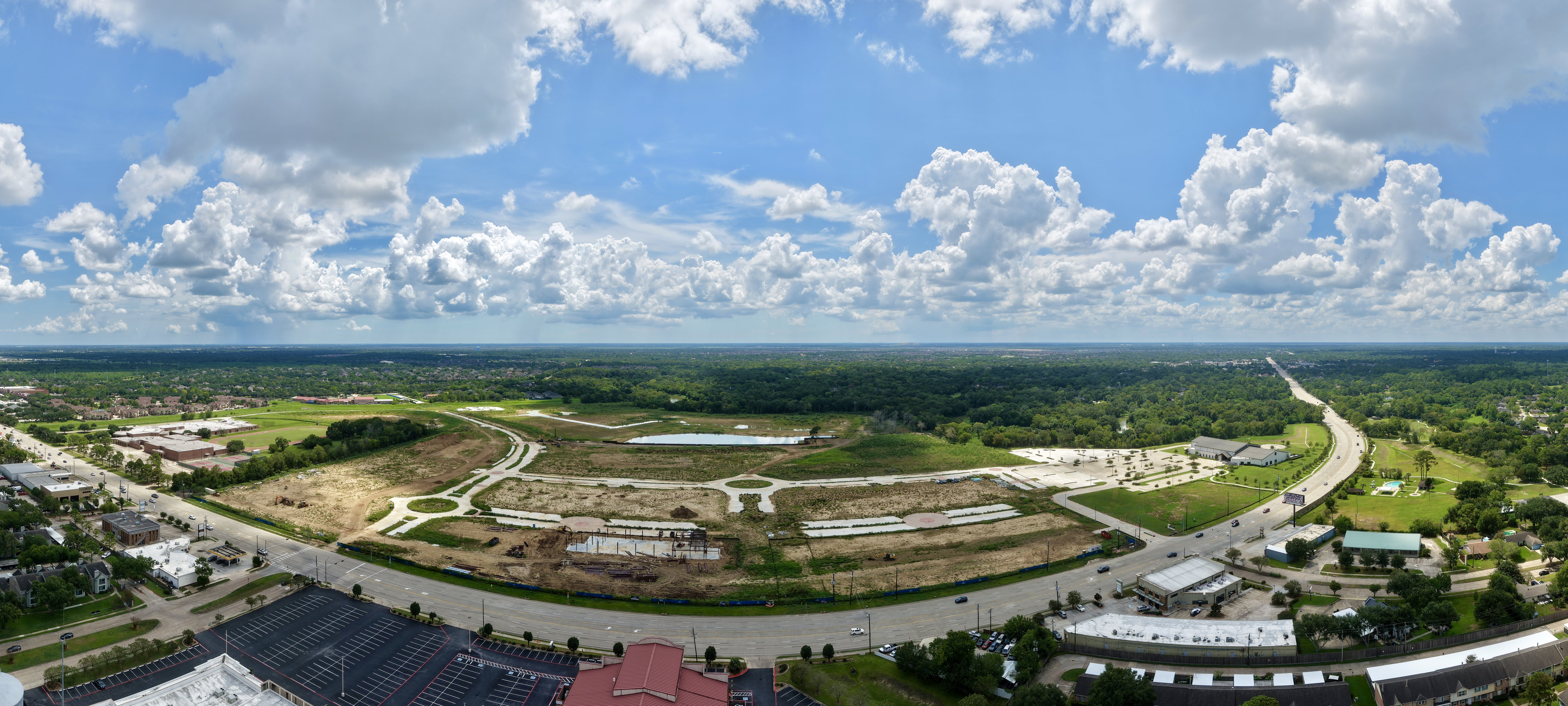
Aerial Progress Documentation
TDB Solutions offers construction site progress tracking, like the example shown here — weekly, bi-weekly, or monthly flights at the same altitude, same coordinates, same frames, so your build reads as one continuous record instead of a folder of unrelated photos.
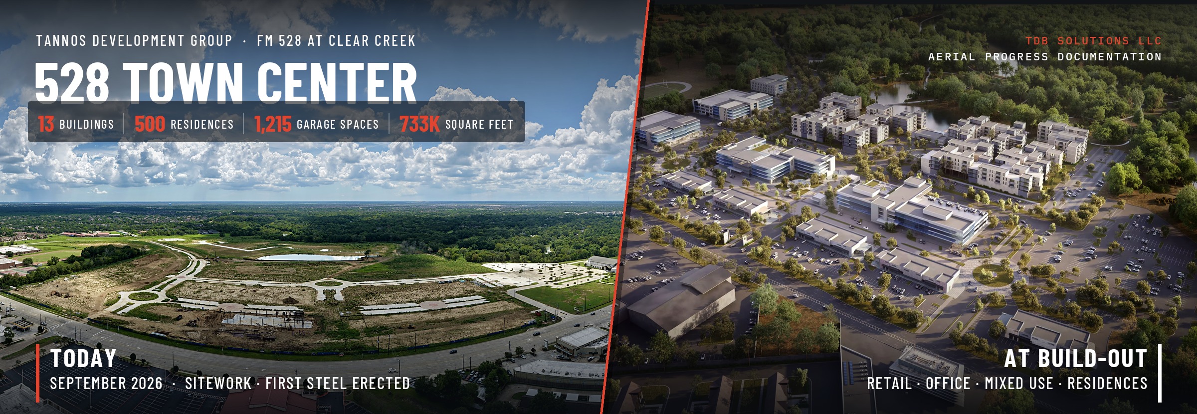
Phase-by-phase completion, a parcel register for all 13 buildings and 3 garages, flight notes, and the standing shot list — updated after every flight.
This is a semi-accurate example. We don't have access to Tannos Development Group's official site plans — these figures are estimated from our own aerial mapping combined with publicly available project information, not certified quantities. Last survey 2026-09-07 · next survey monthly.
Want this kind of visibility on your own job site? TDB Solutions offers ongoing aerial progress tracking for contractors, developers, and property owners — regular flights at the same coordinates and altitude so you get a true visual timeline of your build, not just scattered snapshots. It's a simple way to keep stakeholders and lenders updated, document progress for disputes or insurance, and give your project the kind of marketing-ready visuals seen above. Packages start around $250 per site visit, with weekly, bi-weekly, and monthly options available. Contact us for a custom quote based on your site and schedule.
A photogrammetry capture of the Hilton Clear Lake property in its pre-remodel state. Construction is currently under way to transform the property into a Margaritaville Resort. It could be done in phases of the project for accurate aerial data.

Tell us about your project and we'll put together a coverage plan that fits your schedule and budget.